Logic Group / New Zealand Ministry of Education · 2021 to 2023
Ngā iti Kahurangi: Ministry of Education Small Schools Programme
Project and programme management for the South Island delivery of the Ministry of Education's approximately NZ$120m Ngā iti Kahurangi small schools programme. This routinely audited public sector programme required exceptional information control, stakeholder management, asbestos coordination, procurement readiness and repeatable delivery across remote schools.
Programme scale
NZ$ 120 m
programme value
206
South Island schools
1,433
teaching spaces
Project gallery
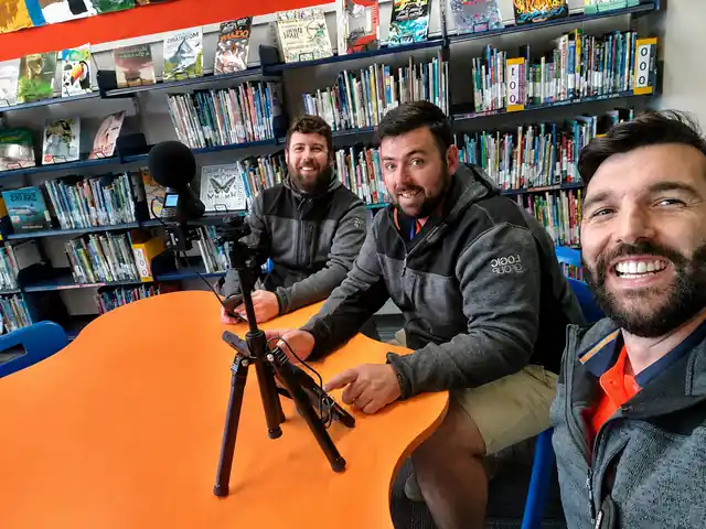
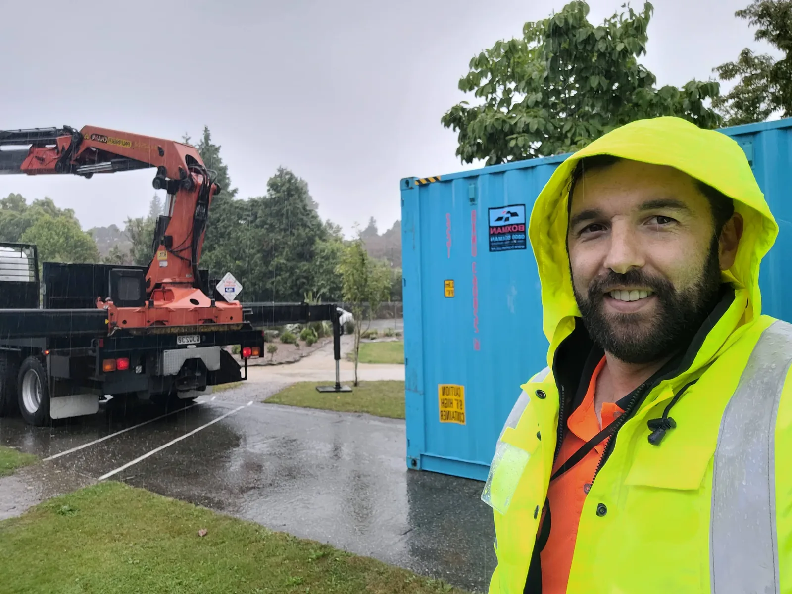
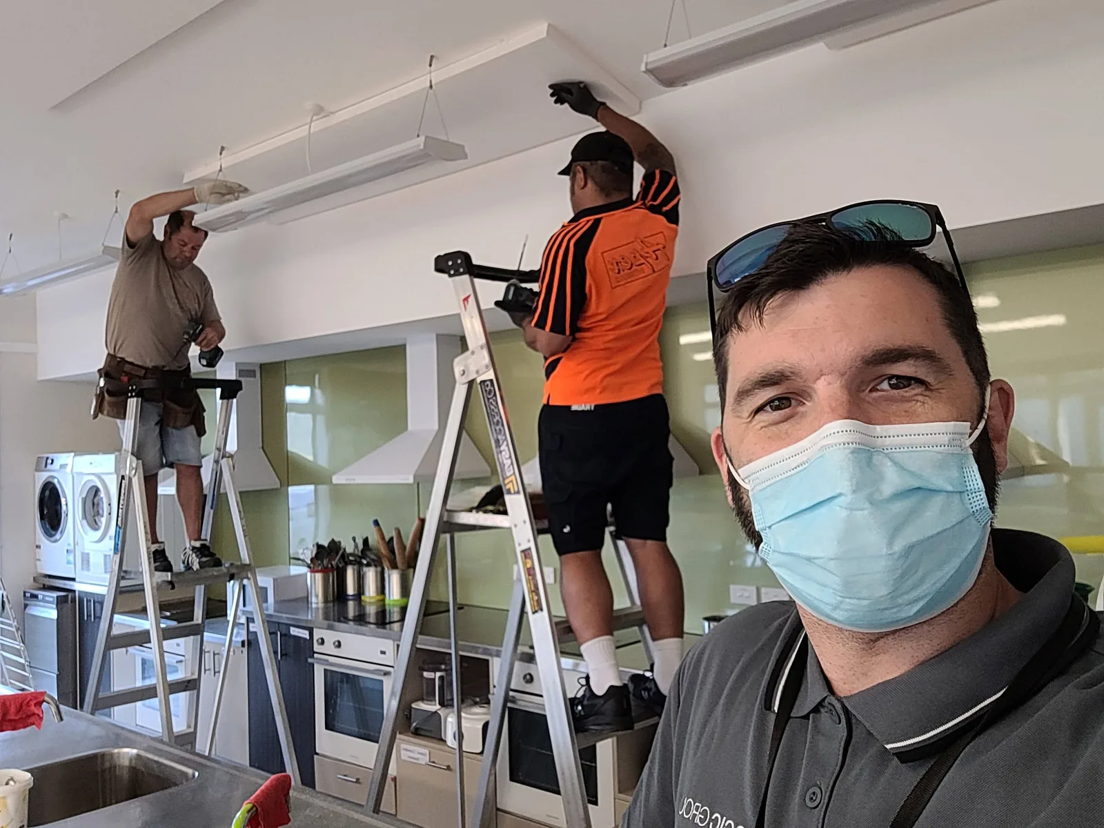
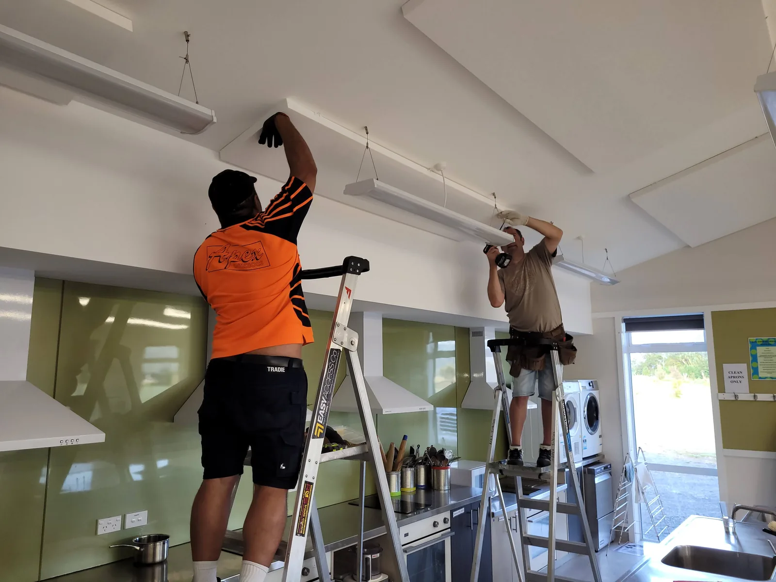
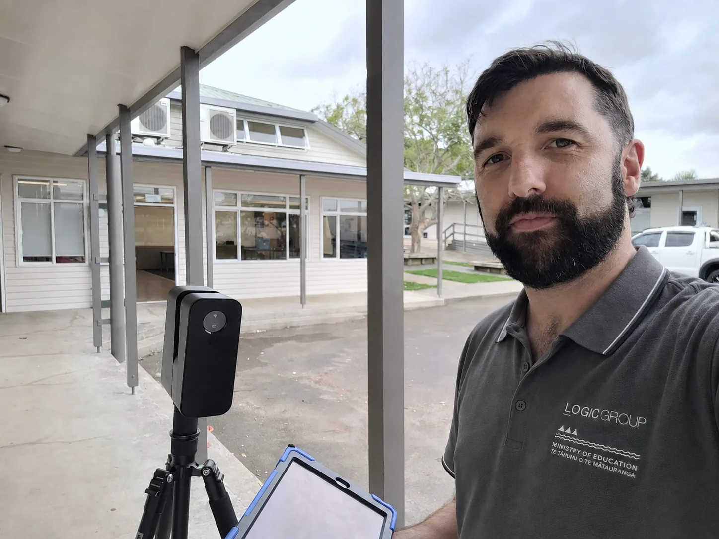
School site survey and digital capture work used to document existing conditions, coordinate access and improve readiness for the South Island upgrade programme.
Role
Project Manager, South Island preconstruction
South Island, New Zealand
Challenge
Hundreds of active school environments, remote travel, asbestos dependencies, Ministry approvals and repeated procurement decisions meant weak information at any one site could quickly become a cost, safety or schedule risk across the programme.
Outcome
A controlled preconstruction process improved survey quality, auditability, risk visibility and construction readiness across the South Island delivery.
The programme
Ngā iti Kahurangi was an approximately NZ$120 million New Zealand Ministry of Education programme during the period relevant to my work. The Ministry of Education was the client. The programme improved learning environments in small and remote schools through upgrades including LED lighting, acoustic treatment, thermal insulation and electrical safety improvements.
My role sat within the South Island delivery, covering approximately 206 schools and 1,433 teaching spaces across three delivery bundles, with Logic Group providing regional project management delivery.
The scale mattered, but the real complexity came from repetition. Every school was an operating environment with different principals, access windows, site conditions, asbestos status, contractors, local constraints and disruption sensitivities. A small information failure repeated across hundreds of rooms could become a significant cost, safety or schedule problem across the programme.
My role
I managed the preconstruction surveying and procurement coordination workstream across the South Island. My responsibilities included:
- engagement with Ministry of Education representatives, principals and school stakeholders;
- survey planning, access coordination and regional sequencing;
- field data quality, programme records and information control;
- asbestos survey and removal dependencies;
- procurement quantities, supplier inputs and logistics readiness;
- risk, issue and escalation management; and
- construction readiness handover to installation teams.
The Ministry retained approval authority for programme requirements and significant decisions. I coordinated the daily work needed to move schools from incomplete site information to a state where procurement and construction could proceed with confidence.
Information management for audit
The programme was routinely audited, so programme information had to be complete, traceable and defensible. Survey completion alone was not enough: the record needed to show what had been inspected, what had been found, what remained unresolved, what approvals were required and whether each school was genuinely ready for the next stage.
I built a replacement Jotform survey application to standardise field capture. Mandatory fields and a consistent data structure reduced ambiguity, exposed missing information earlier and created a stronger audit trail before data flowed into procurement or construction.
This was not administrative housekeeping; it was a programme control. Better information reduced return visits, incorrect material quantities, missed safety constraints, procurement errors and installation disruption.
Stakeholder management
Stakeholder management was central to the role. The delivery network included:
- the New Zealand Ministry of Education as client;
- school principals and school representatives;
- survey teams;
- asbestos surveyors and removal contractors;
- product suppliers and logistics providers;
- electrical and installation contractors; and
- teaching staff affected by the works.
Schools could not simply be treated as sites on a schedule. Each had its own operating calendar, leadership availability, access requirements and tolerance for disruption. I had to coordinate those local realities while maintaining the wider programme sequence and keeping the Ministry informed with reliable programme information.
Asbestos management and IP402
Asbestos was a recurring programme dependency rather than an occasional exception. It could affect ceiling access, survey activity, installation sequencing, approvals and health and safety controls.
I completed IP402 training and certification so I could manage asbestos removal workstreams with greater technical competence and critically review Asbestos Removal Control Plans (ARCPs). In practice, I coordinated survey status, removal requirements, contractor inputs, control plan reviews and readiness decisions so asbestos issues were identified and resolved before they disrupted construction.
That capability was particularly valuable on a routinely audited public sector programme, where safety decisions needed to be supported by clear technical records and appropriate specialist information.
Programme mechanics
The operating model linked:
- school contact and access planning;
- repeatable field surveys and room level data;
- asbestos and safety dependencies;
- procurement and logistics inputs;
- live risk and issue visibility;
- Ministry approval requirements; and
- construction readiness handover.
Digital site capture tools such as DroneDeploy and Matterport were occasionally used to support this process. I coordinated that work and carried out some flights and scans myself, but these were simply useful delivery tools within the wider programme management role.
What this demonstrates
This project demonstrates programme management in a demanding physical environment: an approximately NZ$120m Ministry of Education programme, a geographically dispersed portfolio, routine audit scrutiny, significant stakeholder complexity, asbestos and health and safety dependencies, and a large volume of information that had to remain accurate enough to drive procurement and construction decisions.
The strongest lesson was that on a programme of this scale, information quality is a delivery control. Good records, disciplined stakeholder engagement and early risk management directly protect cost, schedule, safety and downstream execution.